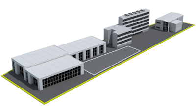


| Area informationLocalization: Aleja Zjednoczonej Europy Area: 2.5012 Possibility of terrain expansion: No Allocation on the local development plan: Services Access road to the area: district road, width around 8.5 m Motorway / National Road: A1 Motorway – 5.5 km / National Road 81 – 0.7 km
|
| Area informationLocalization: Aleja Zjednoczonej Europy Area: 0.1019 Possibility of terrain expansion: No Allocation on the local development plan: Services Access road to the area: Local road, width around 6 m Motorway / National Road: A1 Motorway – 5 km / National Road 81 – 1.5 km
|
| Area informationLocalization: Aleja Zjednoczonej Europy Area: 0.5878 Possibility of terrain expansion: No Allocation on the local development plan: Services Access road to the area: local road, width around 6 m Motorway / National Road: A1 Motorway – 5 km / National Road 81 – 2 km
|
| Area informationLocalization: Aleja Zjednoczonej Europy Area: 0.977 Possibility of terrain expansion: No Allocation on the local development plan: Services Access road to the area: regional road, width around 19 m Motorway / National Road: A1 Motorway – 5 km / National Road 81 – 1.8 km
|
SOLD | Area informationLocalization: Aleja Zjednoczonej Europy Area: 0.2516 Possibility of terrain expansion: No Allocation on the local development plan: Services Access road to the area: Local road, width around 5 m Motorway / National Road: A1 Motorway – 5 km / National Road 81 – 1.6 km
|
| Area informationLocalization: Aleja Zjednoczonej Europy, Aleja Jana Pawła Area: 0.5683 Possibility of terrain expansion: No Allocation on the local development plan: Services Access road to the area: Regional road, width around 19 m Motorway / National Road: A1 Motorway – 5.2 km / National Road 81 – 1.2 km
|
| Area informationLocalization: Aleja Zjednoczonej Europy Area: 1.2526 Possibility of terrain expansion: No Allocation on the local development plan: Services Access road to the area: Regional road, width around 19 m Motorway / National Road: A1 Motorway – 5.5 km / National Road 81 – 0.8 km
|
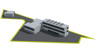
NO CURRENT | Area informationLocalization: Aleja Zjednoczonej Europy, ul. Okrezna Area: 0.5593 Possibility of terrain expansion: No Allocation on the local development plan: Services Access road to the area: Local road, width around 8 m Motorway / National Road: A1 Motorway – 6 km / National Road 81 – 0.3 km
|
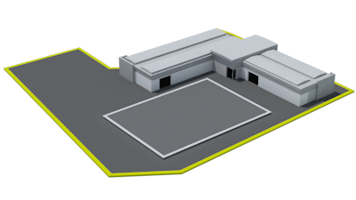
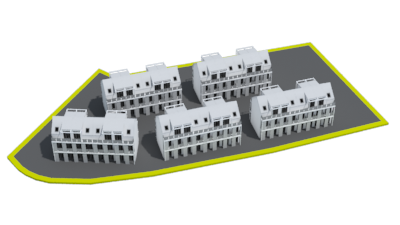
| Area informationLocalization: Aleja Niepodległosci, ul. Meczenników Oswiecimskich Area: 0.664 Possibility of terrain expansion: Yes Allocation on the local development plan: Services, residential and residential – services buildings Access road to the area: Local road, width around 8 m Motorway / National Road: A1 Motorway – 4 km / National Road 81 – 0.9 km
|
| Area informationLocalization: ul. Polna Area: 2.64 Possibility of terrain expansion: No Allocation on the local development plan: Services Access road to the area: Local road, width around 3 m Motorway / National Road: A1 Motorway – 2 km / National Road 81 – 4 km
|
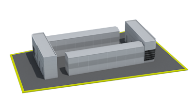
| Area informationLocalization: ul. Pałki Area: 1.9276 Possibility of terrain expansion: No Allocation on the local development plan: Production - storage Access road to the area: District road, width around 5 m Motorway / National Road: A1 Motorway – 1.5 km / National Road 81 – 3.5 km
|
| Area informationLocalization: National Road 81, ul. Familijna Area: 45.4522 Possibility of terrain expansion: Yes Allocation on the local development plan: Production - storage Access road to the area: Local road, width around 3.5 m Motorway / National Road: A1 Motorway – 7.5 km / National Road 81 – 0.3 km
|
| Area informationLocalization: ul. Parkowa Area: 19.4636 Possibility of terrain expansion: No Allocation on the local development plan: Services Access road to the area: Local road, width around 4 m Motorway / National Road: A1 Motorway – 7 km / National Road 81 – 0.5 km
|
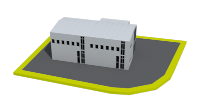
| Area informationLocalization: Aleja Wojska Polskiego Area: 1.0934 Possibility of terrain expansion: No Allocation on the local development plan: Services, downtown buildings -residential, residential – services or services Access road to the area: Local road, width around 6.5 m Motorway / National Road: A1 Motorway – 4 km / National Road 81 – 1.2 km
|
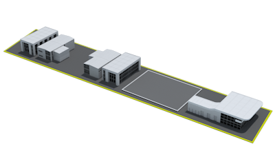
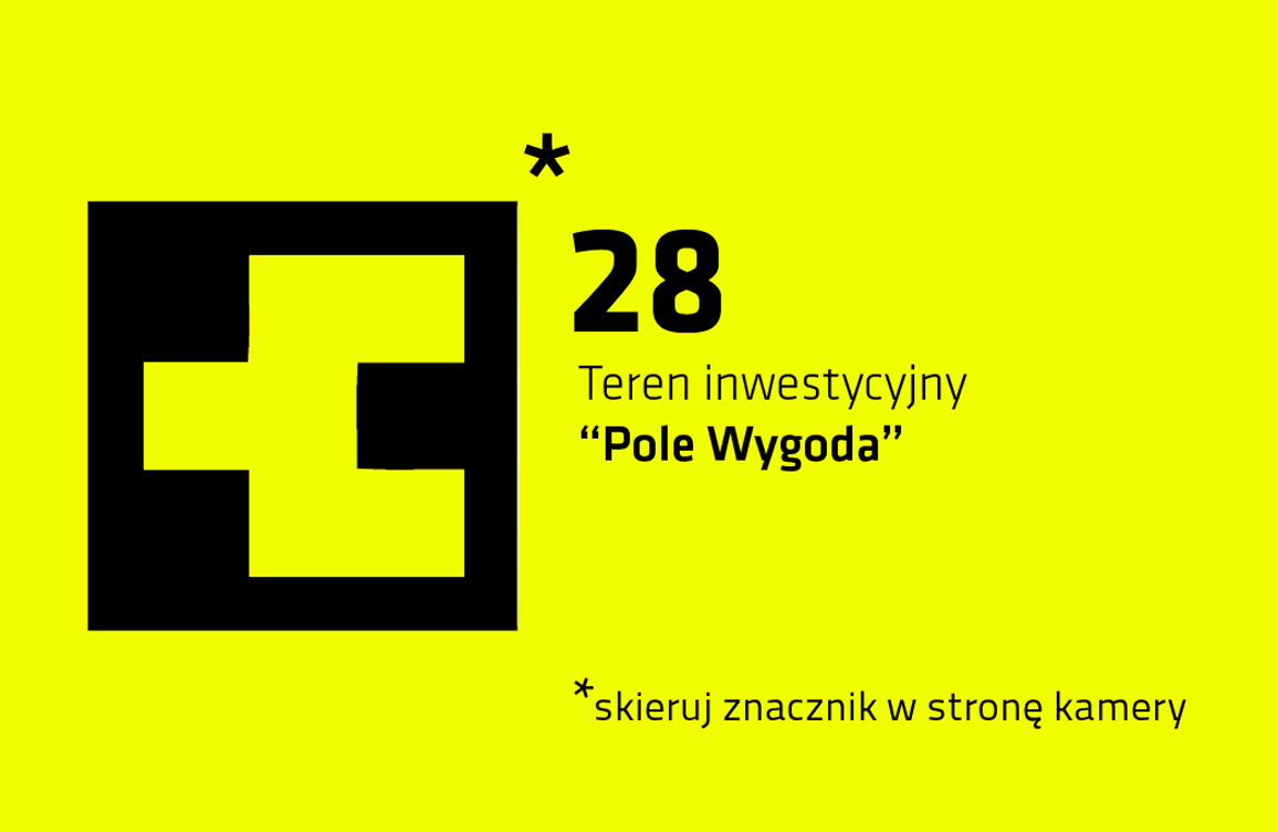
| Area informationLocalization: ul. Dabrowskiego, Aleja Zjednoczonej Europy Area: 0.246 Possibility of terrain expansion: No Allocation on the local development plan: Services Access road to the area: Local road, width around 7 m Motorway / National Road: A1 Motorway – 5 km / National Road 81 – 1.6 km
|
| Area informationLocalization: ul. Katowicka, ul. Pszczyńska, ul. Nad Ruda Area: 5.0161 Possibility of terrain expansion: No Allocation on the local development plan: Services Access road to the area: Regional road, width around 9 m Motorway / National Road: A1 Motorway – 4.5 km / National Road 81 – direct location
|
| Area informationLocalization: ul. Górnicza Area: 6.1298 Possibility of terrain expansion: No Allocation on the local development plan: Services Access road to the area: Local road, width around 6 m Motorway / National Road: A1 Motorway – direct access, exit around 3 km / National Road 81 – 6.5 km
|
| Area informationLocalization: Aleja Jana Pawła II, ul. Sadowa, ul. Centralna, ul. Nowa Area: 2.0631 Possibility of terrain expansion: No Allocation on the local development plan: Services Access road to the area: Local road, width around 7 m Motorway / National Road: A1 Motorway – 4.5 km / National Road 81 – 0.7 km
|
| Area informationLocalization: ul. Gwarków, ul. Skarbek, ul. Górnicza Area: 1.2393 Possibility of terrain expansion: No Allocation on the local development plan: Services, residential and residential – services buildings Access road to the area: Local road, width around 7 m Motorway / National Road: A1 Motorway – 2.5 km / National Road 81 – 6 km
|
| Area informationLocalization: ul. Minimalna Area: 0.4939 Possibility of terrain expansion: No Allocation on the local development plan: Services Access road to the area: Local road, width around 6 m Motorway / National Road: A1 Motorway – 6.5 km / National Road 81 – 1.1 km
|
| Area informationLocalization: ul. Meczenników Oswiecimskich Area: 0.4893 Possibility of terrain expansion: No Allocation on the local development plan: Services Access road to the area: District road, width around 6 m Motorway / National Road: A1 Motorway – 4 km / National Road 81 – 0.6 km
|
| Area informationLocalization: ul. Wrzosowa Area: 0.3432 Possibility of terrain expansion: No Allocation on the local development plan: Production - storage Access road to the area: None Motorway / National Road: Autostrada A1 – 2 km / Droga Krajowa 81 – 5 km
|
| Area informationLocalization: ul. Gajowa Area: 0.6706 Possibility of terrain expansion: No Allocation on the local development plan: Services Access road to the area: District road, width around 3 m Motorway / National Road: A1 Motorway – 4.5 km / National Road 81 – 3 km
|
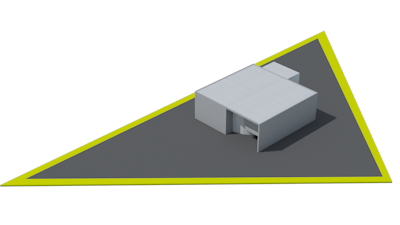
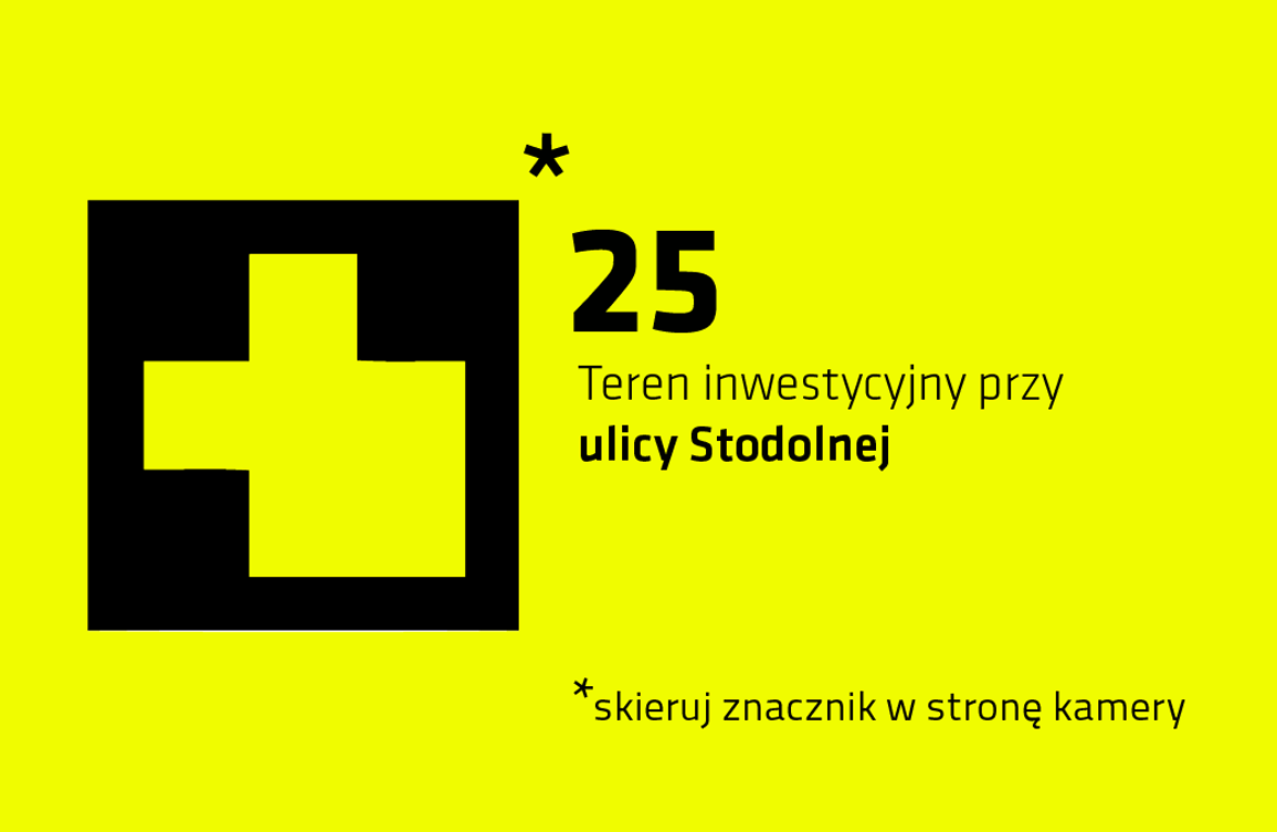
| Area informationLocalization: ul. Stodolna Area: 0.7352 Possibility of terrain expansion: No Allocation on the local development plan: Single family housing development or services, objects and devices of road communication service Access road to the area: District road, width around 6.5 m Motorway / National Road: A1 Motorway – 4.5 km / National Road 81 – 0.5 km
|
| Area informationLocalization: Aleja Jana Pawła Area: 2.3294 Possibility of terrain expansion: No Allocation on the local development plan: Production - storage Access road to the area: District road, width around 6 m Motorway / National Road: A1 Motorway – 7 km / National Road 81 – 3 km
|
| Area informationLocalization: ul. Biesiadna Area: 29.1 Possibility of terrain expansion: Yes Allocation on the local development plan: Production - storage Access road to the area: District road, width around 6.5 m Motorway / National Road: A1 Motorway – 6.5 km / National Road 81 – 2.5 km
|
| Area informationLocalization: ul. Wygoda, ul. Kradziejówka Area: 3.9 Possibility of terrain expansion: No Allocation on the local development plan: Production - storage Access road to the area: Local road, width around 6.5 m Motorway / National Road: A1 Motorway – 2 km / National Road 81 – 3.5 km
|
| Area informationLocalization: Area: Possibility of terrain expansion: No Allocation on the local development plan: Access road to the area: Motorway / National Road: |
PKP | Area informationLocalization: Area: Possibility of terrain expansion: No Allocation on the local development plan: Access road to the area: Motorway / National Road: |
 |  |  |
The Regional Operational Program of the Silesia Voivodeship – the real answer to the real needs.
The project financed by the European Union from the European Regional Development Fund within the framework of the Regional Operational Program of the Silesia Voivodeship for the years 2007-2013.
Information on the Operational Program of the Silesia Voivodeship for the years 2007-2013 can be found at www.rpo.slaskie.pl


 SOLD
SOLD